What is a watershed?
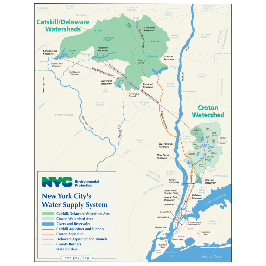
Image: NYC Department of Environmental Protection’s official map of the NYC Water Supply System.
Physically, a watershed is a drainage area (gravity!) If you pour water down the sides of a salad bowl, water collects in the bottom. Now superimpose a hilly landscape on that salad bowl and you’ve got a watershed! The NYC drinking water system contains 3 separate watersheds: the Croton, the Catskills, and the Delaware.
Socially, a watershed connects all living things within it. It produces a public by nature of its geography, but also by law. And because watersheds, water systems, and water bodies can be expansive, so are the publics they create.
The NYC watershed is shaped by infrastructure. It’s controlled by environmental policy and land use regulation. It connects geographically and culturally distinct communities, whose relationship is negotiated through agreements, regulation, legislation, and law suits. This relationship is contradictory, it’s both symbiotic and parasitic.
A water system is both a hegemony and a commons.
water is a social connector
“Water is a social connector”- Dylan Gauthier
The NYC drinking water supply is enormous, providing 1.1+ billion gallons to 9.5+ million people every day. Its infrastructure stretches over 150 miles, from rural to urban communities, through the Catskills, the Hudson Valley, Westchester, and NYC.
Construction of the system began in 1837 by damming the Croton River, and ended by damming the West Branch of the Delaware in 1964. It’s a “miracle of engineering,” that came at a huge cost to watershed communities. This virtual tour explores the complicated relationship between the City and the communities that provide its water, told through stories and images of places and people in the Catskills, where 90% of NYC’s water comes from.
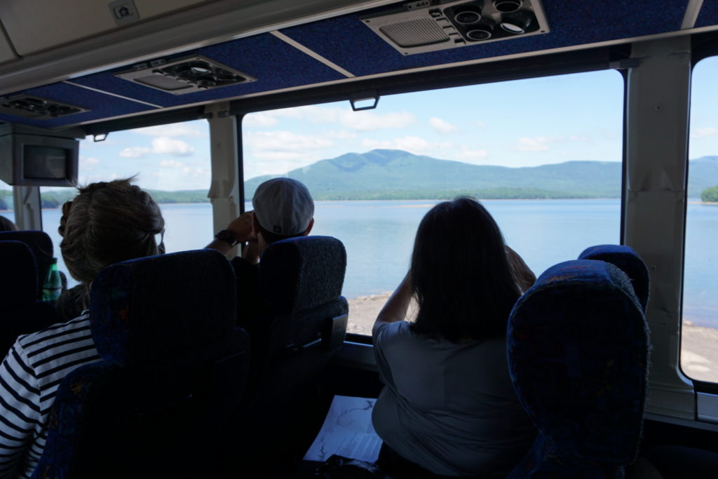
Image: Crossing the Ashokan Weir on the bus, Views from the Watershed tour, August 2019. Photo: Rachel Stevens
 Instagram
 Subscribe for News & Updates
Copyright © 2026 · All Rights Reserved · Walking the Watershed
Theme: Natural Lite by Organic Themes · RSS Feed · Log in